
Data and information regarding coastal and marine resources in the Arafura Timor Seas (ATS) region provide a vital foundation for decision making, planning and action plans. The process of data collection, validation, analysis and interpretation requires a great deal of time, expertise and resources. In many cases, gaps in the data are discovered where the relevant information is not available; thus, it is essential to have user-friendly data and information management systems, to ensure valuable data and information are well-kept, managed and updated periodically. This well of information can then be utilised to support planning and decision-making processes that can directly benefit the people and ecosystems of the ATS.
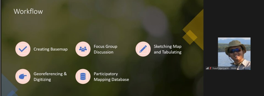
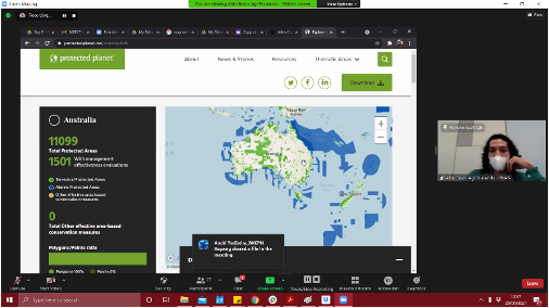
Acknowledging these challenges, the ATSEA-2 Project is working alongside the Coral Triangle Centre (CTC), a Bali-based NGO; and Yayasan Konservasi Alam Nusantara (YKAN), which is one of the main partners of the Nature Conservancy (TNC). Together, this team has created an online course for the Database and Information Management System (DIMS). The online training features eight chapters; the first two focus on how to use Quantum GIS/QGIS (a free and open-source geographic information system software, or GIS) to input, manage and update the data; in the next three chapters, participants also learn about geoprocessing and map layout; in the final three chapters, they learn how to download spatial data, use participatory mapping and KoBo Toolbox as a tool for gathering data in the field. The training is self-paced and requires at least 8 hours to complete.
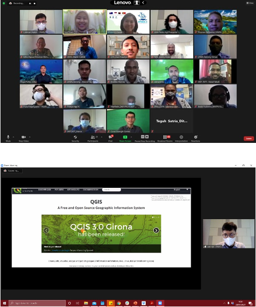
This online course was developed following more hands-on DIMS training, held from 28–29 April 2021. Twenty-two national and local government technical staff and local researchers from four ATS countries attended and completed the online training, which participants described as informative, useful, interesting and easy to understand. A series of inputs were also received, to improve similar training in the future; these included more generous time allocation, offline training (when and where feasible) and more advanced training materials.
CTC and YKAN facilitated the technical training on database and information management systems using several tools, such as a spatial data processing tool that use QGIS and biodiversity data collection using participatory mapping tools and Android-based Apps (Kobo Toolbox). QGIS is a free and open-source cross-platform desktop geographic information system application that supports viewing, editing and analysis of geospatial data. QGIS allows users to analyse and edit spatial information, in addition to composing and exporting graphical maps.
This training session and the resulting online course are expected to contribute to improving fisheries management in the ATS region, thereby strengthening and expanding the protection of marine biodiversity and improving coastal zone management. The ATSEA-2 Project is committed to promoting sustainable development in the ATS region and improving the quality of life of its inhabitants through a combination of restoration, conservation and sustainable management of marine-coastal ecosystems. Through the implementation of new technologies, expertise and processes, ATSEA-2 is working to safeguard the livelihoods and prosperity of coastal people, particularly in its transboundary areas.
ATSEA-2 is a Global Environment Facility (GEF)-funded programme, managed and executed under the United Nations Development Programme (UNDP). Partnerships in Environmental Management for the Seas of East Asia (PEMSEA) Resource Facility (PRF) is an implementing partner. ATSEA-2 is the second phase of the Arafura & Timor Seas Ecosystem Action (ATSEA) programme; a regional partnership involving the governments of Indonesia, Timor-Leste and Papua New Guinea, with the support of the Australian Government.
(by Casandra Tania & Norman Ramos)