The Ministry of Maritime Affairs and Fisheries (MMAF), through the Directorate General of Marine Spatial Management (Ditjen PRL) has made a commitment to maintaining the sustainability of Indonesia’s marine ecosystems. One of the major efforts undertaken is to increase Marine Protected Areas (MPAs) coverage to 32.5 million hectares, or approximately 10 percent of Indonesian waters, by 2030.
This includes the Kolepom Island MPA, which is located in Merauke Regency, South Papua Province. Here, the first steps to increase MPA coverage were carried out by the South Papua Provincial government, specifically with the establishment of institutions, planning documents and management plans designed to ensure fishing activities proceed in accordance with regulations.
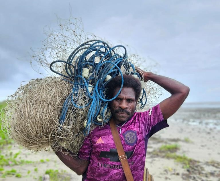
Following establishment of the Kolepom Island MPA in South Papua earlier this year, the MMAF, working in collaboration with the ATSEA-2 Project, held a number of village outreach activities and socialised the MPA management plan for Kolepom in Waan District, including technical guidance and assistance in efforts to monitor and manage these waters sustainably.
Tackling common challenges with monitoring and development

Fisheries Management Area (FMA) or known as Wilayah Pengelolaan Perikanan (WPP) 718, which includes the Waan Subdistrict, faces issues of excessive fishing exploitation. As a result, the marine environment in this area has experienced degradation and decline, due to a combination of illegal, unreported and unregulated (IUU) fishing, habitat destruction, climate change, and pollution from land and sea. The Kolepom MPA, which borders WPP 718, also faces similar challenges. Fish stocks in the Arafura Sea have decreased due to overfishing and illegal fishing; addressing these issues is crucial to maintaining the sustainability of fishery resources and protecting the marine environment in the Kolepom MPA.
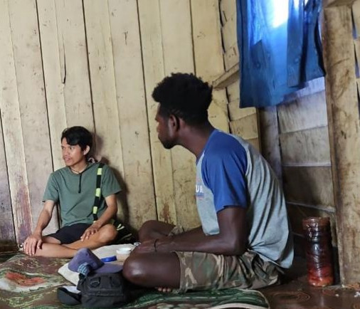
Technical guidance is intended to enhance the knowledge, understanding and motivation of community-based surveillance groups (kelompok masyarakat pengawas/Pokmaswas) in their role as fisheries monitors. One aspect of this technical guidance focuses on reporting mechanisms and community-based surveillance information systems. This activity was carried out recently through face-to-face meetings with stakeholders from the Merauke Surveillance and Enforcement Unit, where the materials were presented during a discussion session.
In addition, mentoring activities also include routine monitoring facilitation by Pokmaswas, aimed at enabling them to effectively monitor water conditions and marine and fishery resources. Pokmaswas will conduct patrols in the waters around Kolepom MPA according to an agreed route. Through this routine monitoring, it is hoped that more effective control over waters and marine resources can be achieved.
Next steps: scaling up engagement and deepening involvement

with the local community in Waan District
Moving forward, the ATSEA-2 Project will focus on identifying potential economic development opportunities for coastal communities within the Kolepom conservation area. As part of the management plan for the Kolepom MPA, communities will become progressively more involved in determining the rules and regulations for zoning.
Through these additional actions, the Project aims to support the economic well-being of coastal communities, while also ensuring effective conservation measures remain in place. Ultimately, by involving communities in decision-making processes, local perspectives and knowledge can contribute to the successful management and long-term sustainability of the Kolepom MPA.
By actively involving the community through technical guidance and assistance, ATSEA-2 intends to facilitate meaningful and lasting participation by local people in supervision and management efforts taking place in the waters of Waan District.
By Stella Yovita Arya Puteri


